
Industrial technology
Proud finalist, 35th INCITE Awards
The project was named a proud finalist for applied data science and mining technology innovation.
BHP + Resources Technology and Critical Minerals Trailblazer
A phased automation project validating drill patterns from aerial imagery, lidar-derived elevation models, and drill tables, replacing hazardous manual checks with faster, higher-coverage evidence.
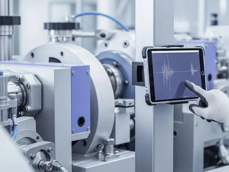
This automated reporting represents a step function improvement for BHP operations.
BHP project stakeholder
Internal project feedback - BHP
Industrial technology
The project was named a proud finalist for applied data science and mining technology innovation.
Client and partner
Delivered with BHP and Trailblazer support to improve validation of drill actuals in large-scale mining operations.

Funding pathway
Funded by the Resources Technology and Critical Minerals Trailblazer to advance operational mining capability.

Timeline
The project began in August 2024 and has moved beyond the first expert-system phase, with further scalability planned.
Internal feedback
BHP feedback described the automated reporting as a step-function improvement for operations.
Project overview
Validating drill patterns is critical for safety, operational efficiency, and cost management in open-pit mining. The existing process relied on surveyors entering hazardous field environments or teams manually reviewing drone and lidar captures, which meant only a small fraction of drill holes could be verified.
CIDS worked with BHP, with funding from the Resources Technology and Critical Minerals Trailblazer, to design a phased automation strategy. The first phase used reported drill locations as reference points, then extracted features from cropped aerial imagery and digital elevation data to identify drill collars, flag unreliable data, and detect calibration issues such as GPS drift.
Validation against manually tagged data showed accuracy within approximately one pixel. In tested cases the workflow frequently verified more than 70% of holes, and sometimes more than 95%, while giving BHP a data-driven way to monitor equipment performance without sending people into high-risk verification tasks.

Before and after
4 operational shifts from the project
Before
Hole verification coverage
Manual checks covered around 2% of holes.
QA/QC time
Teams spent roughly 2 hours processing and checking data.
Field exposure
Surveyors entered hazardous areas near open holes.
Location accuracy
Manual and equipment drift issues could remain undetected.
After
Hole verification coverage
Automated analysis often exceeded 70%, with tests above 95%.
QA/QC time
Automated reporting reduced QA/QC time to under 5 minutes.
Field exposure
Drone and lidar evidence could be validated away from the pit.
Location accuracy
Median drill-hole offset reached 7.2 cm, comparable to image resolution.